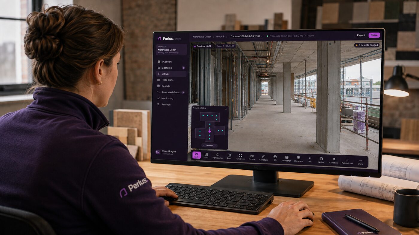
Perlus turns a walk through a building into usable spatial intelligence — navigable records, floor plans and condition data, ready minutes after you finish.
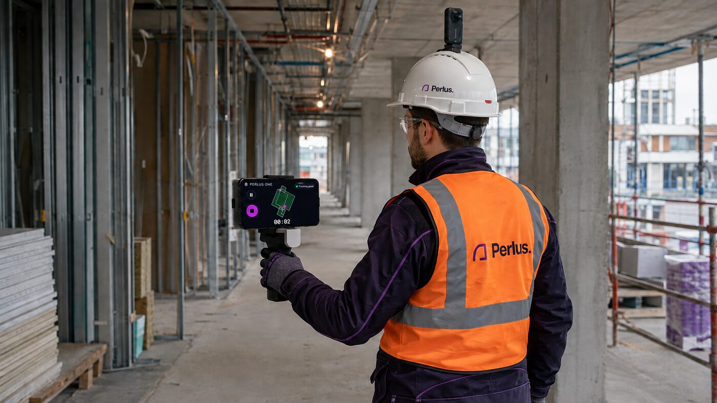
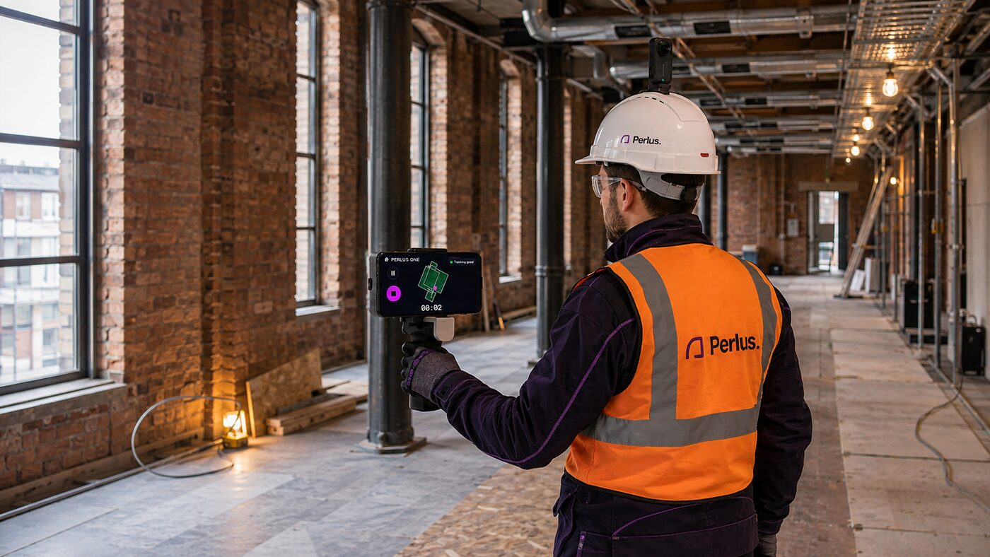
Handheld LiDAR and a head-mounted 360° camera capture as you go. No tripod, no setting out, no survey training.
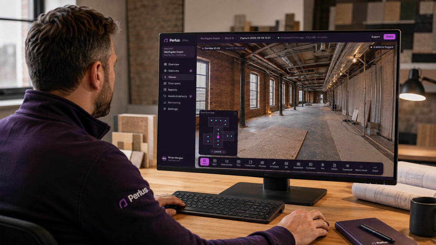
Perlus Atlas aligns the walk to the building and builds a navigable record: every room, every waypoint, the plan beneath it.
Flag defects, compare against the last walk, export floor plans and condition reports. Decisions, not point clouds.
Walk through in 360°, jump to any room from the plan, measure, annotate, and share a link that opens in a browser.
Current, navigable building information for maintenance, condition, defects and planned works — without waiting on a survey.
Condition · PPM · defect appraisalWalk the site at the end of each week. Verify work, monitor progress and settle what was there before it was covered up.
Verification · monitoring · handoverFast capture for the jobs that don't need a total station. Export point clouds and plans into the tools you already use.
Floor plans · point cloud · exportThe capture kit. Handheld LiDAR scanner, head-mounted 360° camera, and an iPhone app that keeps you on track while you walk.
The platform. Processing, the 360° viewer, floor plans, condition reports and construction monitoring — in the browser, shareable by link.
We'll walk one of your sites with you and hand over the record the same day.
Book a walk-through